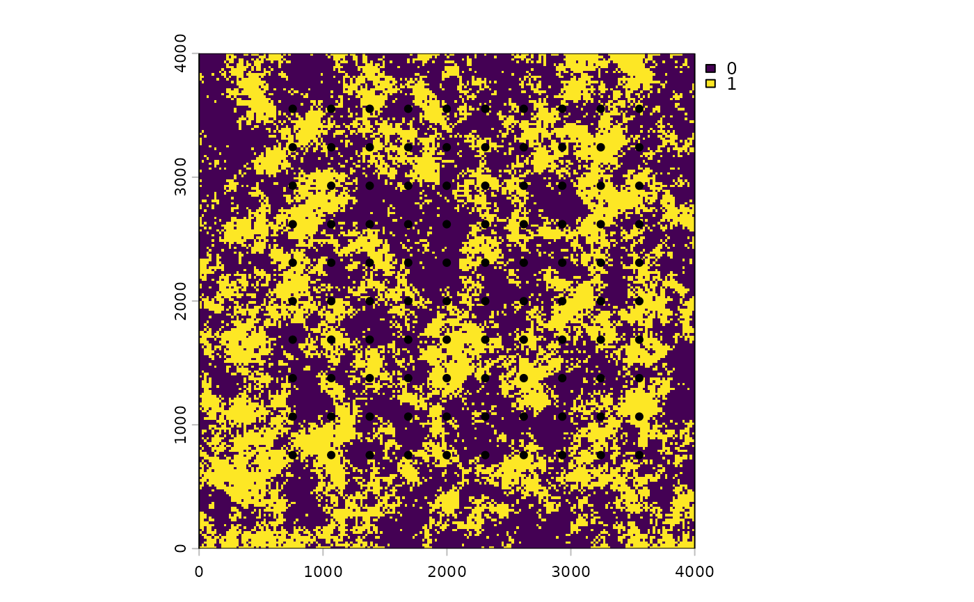
Locations of the 100 survey points that go with landscape_counts and the
landscape.tif raster.
An sf point object with 100 features, no coordinate reference
system, and coordinates in the map units of landscape.tif. Its one
attribute column, obs, is a numeric column carried over from the
simulation; the vignettes use landscape_counts$counts as the response.
Source
Simulated for this package.
Examples
data(surv_pts)
land <- terra::rast(system.file("extdata", "landscape.tif",
                                package = "multiScaleR"))
terra::plot(land$land1)
terra::points(terra::vect(surv_pts), pch = 19)