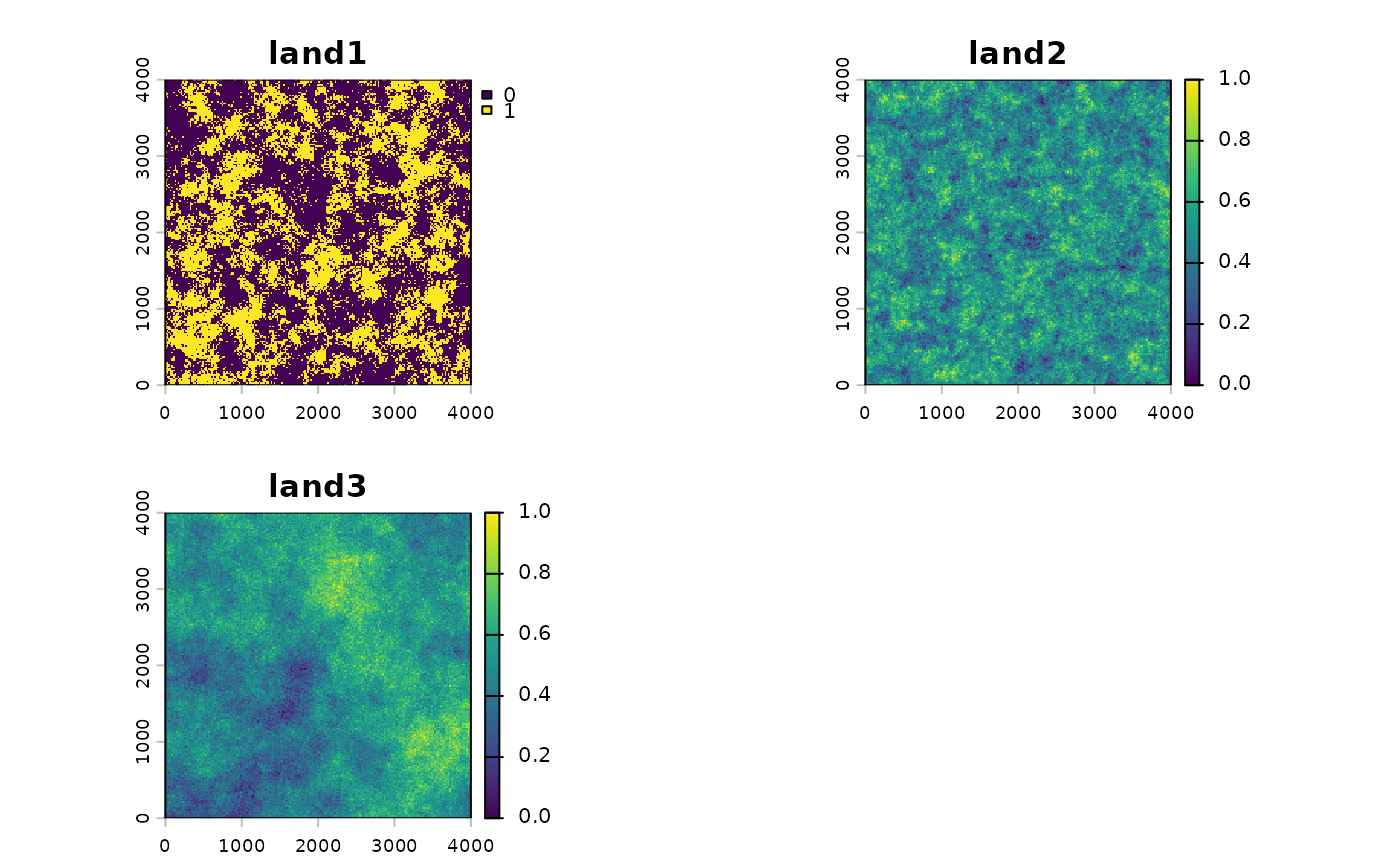
Three simulated landscape layers stored as landscape.tif in the
package's extdata folder, used with surv_pts and landscape_counts in
the vignettes.
Format
A SpatRaster with three layers of 200 by 200 cells of 20 map
units (an extent of 0 to 4000 in each direction) and no coordinate
reference system. Values range from 0 to 1:
land1: binary surface with low spatial autocorrelation.land2: continuous surface with low spatial autocorrelation.land3: continuous surface with high spatial autocorrelation.
Examples
land <- terra::rast(system.file("extdata", "landscape.tif",
                                package = "multiScaleR"))
land
#> class       : SpatRaster
#> size        : 200, 200, 3  (nrow, ncol, nlyr)
#> resolution  : 20, 20  (x, y)
#> extent      : 0, 4000, 0, 4000  (xmin, xmax, ymin, ymax)
#> coord. ref. :
#> source      : landscape.tif
#> names       : land1, land2, land3
#> min values  :     0,     0,     0
#> max values  :     1,     1,     1
terra::plot(land)